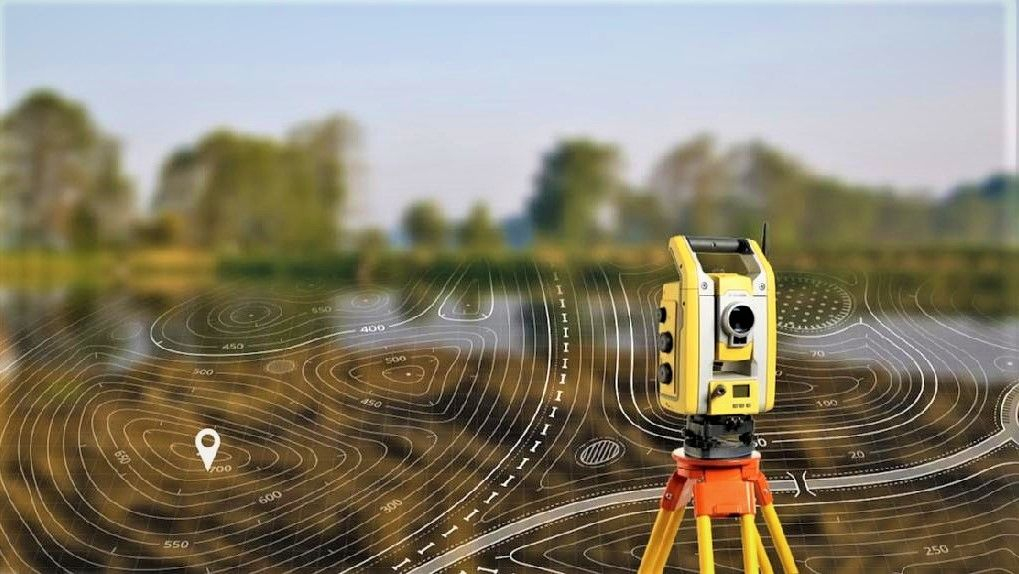
Precision begins at the surface — and beneath it. Our Topo-Geodetic & Geophysical Survey Services provide the foundational spatial and subsurface intelligence essential for safe, efficient, and compliant oil and gas operations. From initial site reconnaissance to final as-built verification, we deliver centimeter-accurate positioning, terrain modeling, and geophysical mapping that guide every phase of your project lifecycle.
Combining satellite-grade GPS, LiDAR, drone photogrammetry, gravity, magnetics, and resistivity tools, our multidisciplinary survey teams ensure your infrastructure, wells, and pipelines are placed exactly where they should be — avoiding costly rework, environmental risks, and regulatory setbacks.